Typology
Classify municipalities by spatial capacity loss, fiscal vulnerability, infrastructure stress, and governance implications.
Regional Governance & Spatial Capacity
An emerging research program on how hazards, infrastructure stress, land constraints, fiscal dependence, insurance instability, and uneven development reshape municipal capacity and regional interdependence.
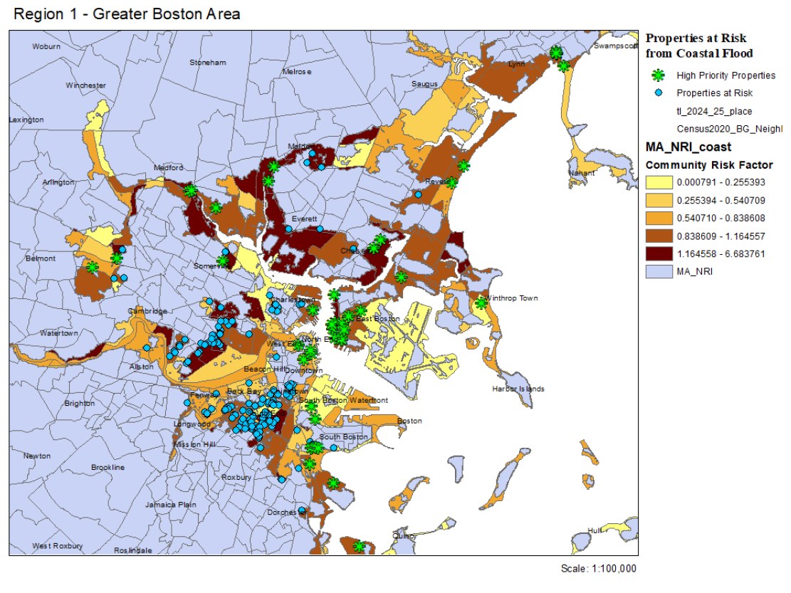
This work develops a regional governance framework for understanding how hazards, infrastructure deterioration, insurance instability, demographic change, uneven investment, and fiscal dependence reduce the capacity of land and infrastructure to support housing, employment, public services, and community life.
The project asks how local capacity loss restructures regional interdependencies and redistributes development pressure, infrastructure burdens, and service demands across metropolitan systems.
Classify municipalities by spatial capacity loss, fiscal vulnerability, infrastructure stress, and governance implications.
Map housing, labor, infrastructure, service, and community support networks across metropolitan regions.
Model municipal adaptation choices and impacts on socio-spatial continuity.
Evaluate regional collaborations and develop planning support resources.